Vegetation assessment © Andreas Heinemeyer
Long term monitoring
Peat bogs develop very slowly; on average, 1m of peat takes 1,000 years to form (and often more slowly at altitude). To improve understanding of these systems requires long term committment. Our long term monitoring programme looks for changes in vegetation communities and peat depth that would indicate a change to peat-forming conditions.
Peat survey © Lyndon Marquis
Surveying
We conduct both desk based and field surveys. Aerial photos used in our surveys are often provided by our in house UAV pilots. Using handheld GPS mappers, we categorise all the features of a site, including vegetation/plant communities, erosion features and peat depths. Yorkshire Peat Partnership's expanding team has already surveyed nearly 30,000 hectares using these methods.

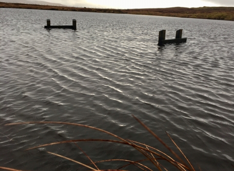
Cray Moss timber dam © Lyndon Marquis
Works monitoring
One year after capital works have been completed, Yorkshire Peat Partnership staff will return to restoration sites to assess the success of the work. Following this, the team will return every two years to carry out condition assessments.
